Reproducible GIS
Published:
A note on reproducible GIS by economists: it’s mostly absent. Here are some tips.
Reproducibility and GIS
Reproducibility means that the inputs and methods can be repeated by a (somewhat) knowledgeable person. For GIS, that might (should) mean code, but it definitely means at least SOME instructions. Even if they are manual….
Maps are data. While your typical Stata/Matlab/R/Julia graph is data projected into Cartesian coordinates, maps are data projected into geographic coordinates. So at a minimum, we need to know what the inputs to the map are, same as we need to know inputs to graphs.
So “data + code” + “graph twoway scatter x y” -> 📈📉,
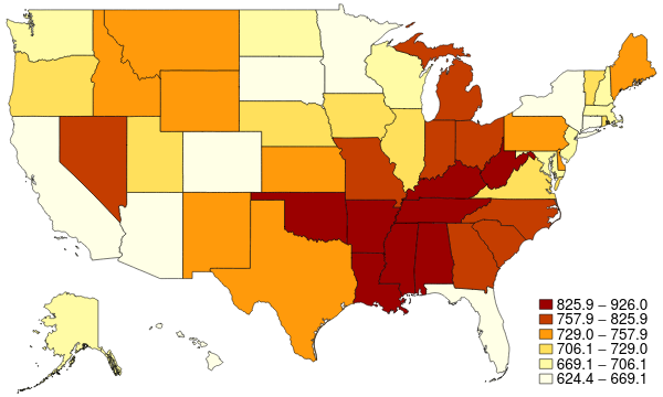
and “data + code” + “maptile x, geo(state)” -> 🗺️. Or “data + code” + “instructions(ArcGIS)” -> 🗺️.
Note that for a map, “data” includes shapefiles (including provenance of the shapefile)
Checklist for reproducible maps
- ✅ data (+ provenance)
- ✅ code (manipulates data)
- ✅ shapefile (provides coordinates)
- ✅ code (preferred) or instructions (sufficient)
Resources
A few tentative resources are collected at https://social-science-data-editors.github.io/guidance/guidance-reproducible-gis-analysis.html (please suggest improvements!), with some other links below:
Stata
Stata FAQ on maps, including the spmap package and the maptile package by @michaelstepner
R
The core sf library, reproducible GIS practices in R and interactions with GIS software (and integrated as a dependency into many great packages)
Python
GeoPandas and others
ArcGIS
ArcGIS can also be scripted (via python) and now integrates Jupyter-like notebooks
QGIS
Staying #opensource: QGIS has “Graphical Modeler”, and look for tutorials on “Automating GIS Workflows”
Summary
Please try to create scripted maps, but always describe what data you are mapping, and where you got the shapefiles from (note: copyrights might apply, permissions might need to be obtained!)
PS
And for those exceptions from scripting: a 2-3 sentence description of what you did would be sufficient. And for the unscripted ArcGIS which you did before you learned how to script stuff: a 4-5 sentence description may be sufficient as well.
Follow the conversation
Slightly modified from https://twitter.com/AeaData/status/1359516297990701057